Skip to content
Menu

Booking through these earns us a commission from Viator. You pay the same, and payment did not decide what is listed.

Search

Historic site

Olowalu

Last updated

A reef that reseeds coral across four islands, a cliff of petroglyphs, and the site of a massacre that changed Hawaiian history.

Olowalu is barely a place on the map: a store, a restaurant, a campground and a bend in the Honoapiʻilani Highway about five miles south of Lahaina. What is offshore and what is behind it are why it matters.

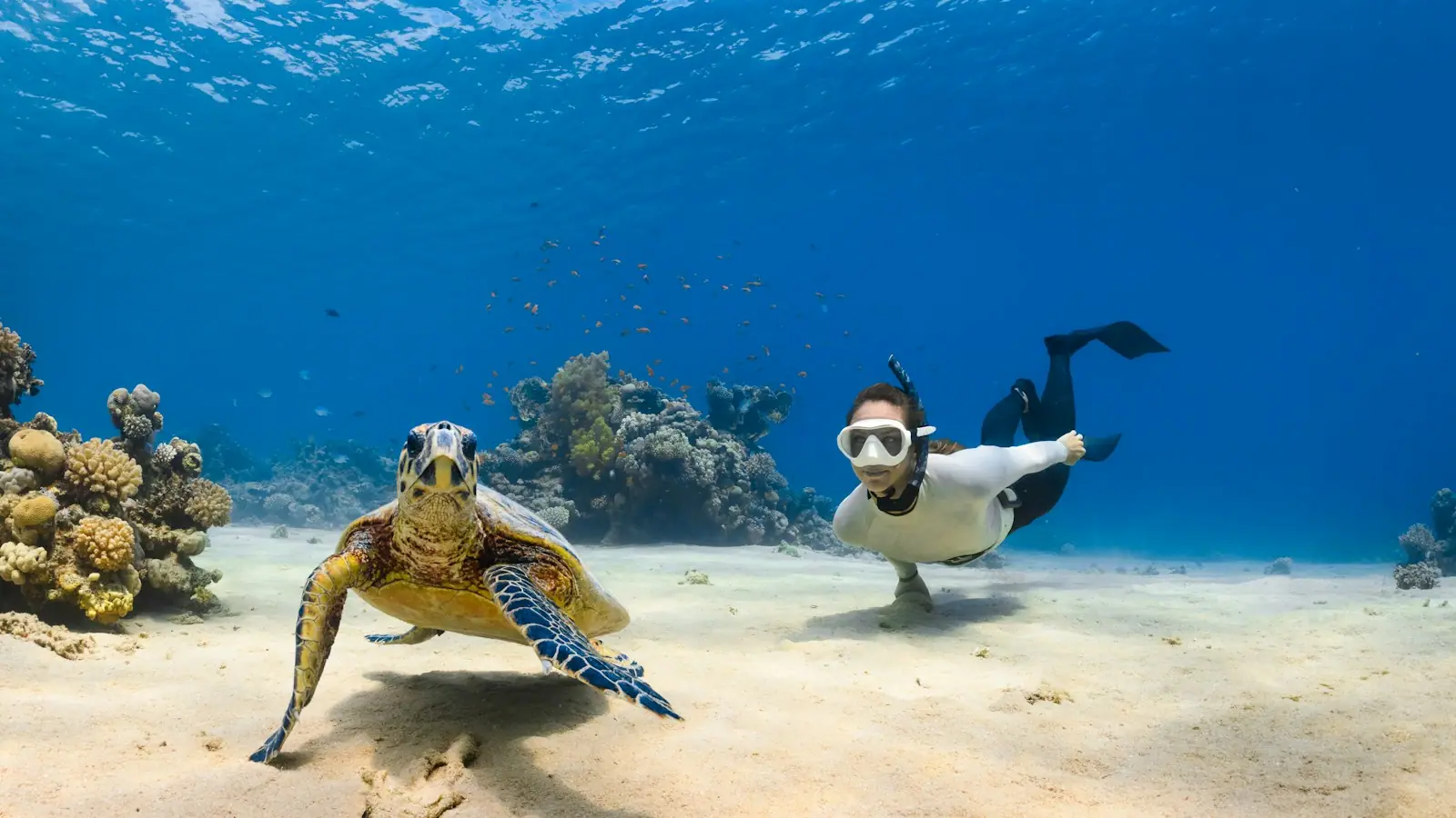
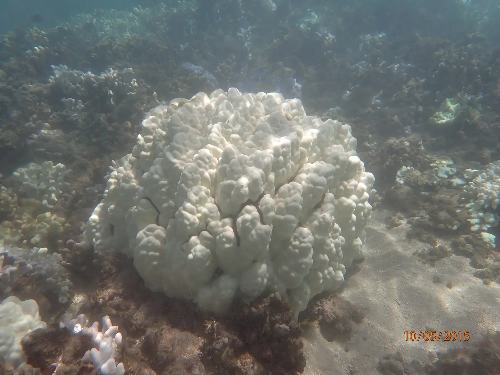
Offshore is roughly a thousand acres of coral, one of the oldest and largest living reef systems in Hawaiʻi. Scientists describe Olowalu as a mother reef: its coral spawn drifts on the currents and settles on reefs across Maui Nui, meaning Maui, Molokaʻi, Lānaʻi and Kahoʻolawe. If Olowalu fails, reefs on four islands lose their nursery. It is also one of the few known manta ray cleaning stations in the state, where reef fish pick parasites from mantas that come in over the shallows, and a reliable cleaning station for green sea turtles. Snorkellers enter straight off the roadside around mile marker 14, which is the single most cited reason people stop.

Behind the store, a quarter-mile dirt track leads to Puʻu Kilea, where about a hundred figures are cut into a basalt cliff: human forms, sails, dogs, canoes. Lahaina Restoration Foundation built a stairway and viewing platform up to them in the 1960s; after repeated vandalism it was demolished, and today you view from roughly fifty feet below. That is the right arrangement, and it should stay that way.

Olowalu is also the site of one of the darkest episodes in early contact history. In 1790 Simon Metcalfe, captain of the American ship Eleanora, opened fire on canoes gathered alongside, killing more than a hundred Hawaiians. The retaliation that followed put the British sailor Isaac Davis and, separately, John Young into Kamehameha's service, with consequences that ran all the way to the unification of the islands.

Stop here for the reef and the rock art. Stop knowing what happened on this water.
Getting there and parking

Olowalu is on the Honoapiʻilani Highway (Route 30) between Māʻalaea and Lahaina, around mile markers 14 and 15. From Kīhei or Wailea allow 30 to 40 minutes; from Kahului about 40; from Kāʻanapali around 20 to 25.

The snorkelling entry is a dirt pullout near mile marker 14. The petroglyph trail starts behind the general store at about mile marker 15. Both are unsigned from the highway and easy to overshoot — watch the mile markers.

Parking is free, unpaved and roadside. Traffic on this stretch moves fast and the pullouts sit on sweeping bends, so signal early both entering and leaving. Do not stop on the narrow pali section south of here.

Leave nothing visible in the car. Roadside pullouts on Maui are a known target for break-ins.

The mother reef, and how not to damage it

Olowalu's reef is shallow, close to shore, and unusually old. That combination makes it easy to snorkel and easy to wreck.

  • Mineral sunscreen only, and on Maui that covers the bottle in your bag. The state rule is a shop rule: nothing containing oxybenzone or octinoxate may be sold or distributed anywhere in Hawaiʻi without a prescription. Maui County Ordinance 5306 went past that in October 2022 and reached the wearer as well, so using a non-mineral sunscreen here — including one bought on the mainland — is covered too. Zinc oxide, titanium dioxide, or a doctor's note. A rash guard is better than any of them.
  • Never stand on coral. The water over the reef flat is shallow enough that standing feels natural. A single foot on a coral head can undo decades of growth. Float, and if you need to rest, swim back to sand.
  • Green sea turtles (honu) are protected. Stay at least ten feet back. They are here to be cleaned, not photographed from a foot away. Monk seals, if one hauls out, require fifty feet.
  • Manta rays do not want to be touched or followed. Hang still and let them work; they will often come closer on their own terms.
  • Do not feed anything.

The reef is also under real pressure from land-based runoff and sediment, which is why local groups fight over development in the valley behind it. Visitors cannot fix that, but they can avoid adding to it.

Snorkelling here: what it is actually like

The usual entry is a dirt pullout around mile marker 14, where a short walk over sand and rubble puts you in water that is waist-deep for a long way out.

Honest assessment. On a calm morning it is excellent: turtles almost guaranteed, good coral cover, easy swimming with no drop-off and no boat traffic close in. By late morning the trade winds come up the channel, the surface chops, and visibility falls away. After heavy rain, runoff from the valley browns the water for a day or more. It is a morning spot and only a morning spot.

There is nothing here in the way of facilities: no lifeguard, no restrooms, no showers, no shade, no rental kiosk. Bring everything, including water, and rinse gear later.

Two safety notes. The shallow reef flat has channels where current runs out through gaps, and a light offshore drift is easy to miss until you are working to get back. And the shore-break over rubble is awkward on anything but a flat day. Entering and exiting is where people cut their feet. Booties help.

Boats also run snorkelling trips to this reef from Lahaina and Māʻalaea harbours, which solves the entry problem and puts you over the better coral.

Puʻu Kilea: the petroglyphs

The track starts behind the Olowalu General Store: go left facing the store, take the first right, follow the dirt road to its end, then bear left past a water tank. It is roughly a quarter of a mile on flat, open ground, and about a mile round trip with looking time. There is no shade at any point and it gets genuinely hot.

What you see is a section of basalt cliff carved with something in the order of a hundred figures. Estimates put much of the work at a few hundred years old, though petroglyph dating is inexact and the site was likely used over a long period. The images sit above you; the old stairway that once led right up to them is gone, demolished after vandalism.

The rules are simple and they are not suggestions. Stay on the path. Do not touch the carvings, because skin oil degrades the rock surface. Do not take rubbings; the State Historic Preservation Division is explicit that wax, crayon and charcoal residue damages petroglyphs permanently. Do not add anything, and do not move stones around.

Beyond the site the road is private. Locals living back there have made clear they do not want traffic, and that request deserves the same weight as any sign.

Go early. Morning light rakes across the cliff face and makes the shallower carvings visible; midday flattens them out entirely.

Driving on to Lahaina and West Maui

Olowalu sits on the only road to West Maui, so almost everyone passing here is on their way to or from Lahaina, Kāʻanapali or Kapalua. That deserves saying plainly.

The August 2023 wildfire destroyed historic Lahaina town and killed about a hundred people, the deadliest wildfire in the United States in more than a century. Recovery is ongoing, and the situation changes. As verified in September 2026: Front Street reopened to vehicle traffic between Pāpalaua and Shaw streets on 1 August 2026, along with Dickenson and Prison streets, and more than a dozen businesses had returned. Market Street, Papelekane Street and Mokuhinia Place remained closed for ongoing work, including dredging at Lahaina Harbor. Banyan Tree Park remained closed to the public, with arborists still assessing the tree's health. Much of the town is still an active rebuild.

How to behave, in one line: this is a place where people died and where people live, not a viewpoint. Do not drive slowly through neighbourhoods photographing burn sites. Do not fly a drone. Do not enter closed or fenced areas. Support the businesses that have reopened and buy something.

Check the current status before you go — Maui County and the county's recovery site publish what is open. If you cannot confirm it, assume less is open rather than more.

The stop itself, and the road

At the roadside there is a general store and a small restaurant that have long served this stretch, plus a campground. Hours and offerings at both have changed over the years, so if lunch is the plan, have a fallback — the next reliable food heading south is Māʻalaea, and heading north it is Lahaina.

Where you park matters. The pullouts are dirt, they are on a highway where traffic moves quickly, and pulling out into a blind sweep is the most dangerous thing most visitors do here. Signal early, and do not stop on the pali stretch further south — the narrow, cliff-edge section between Olowalu and Māʻalaea has no shoulder worth the name.

One structural fact worth knowing if you are staying in West Maui: this highway is the only road in. High surf and flooding have closed it before, and when it closes, West Maui is genuinely cut off apart from a long detour on the northern single-lane route. It is not a reason to worry, but it is a reason not to leave an airport transfer to the last thirty minutes.

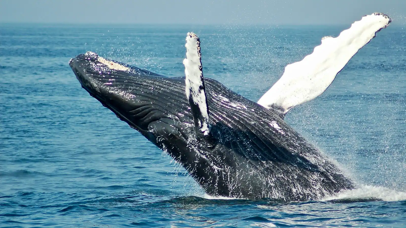
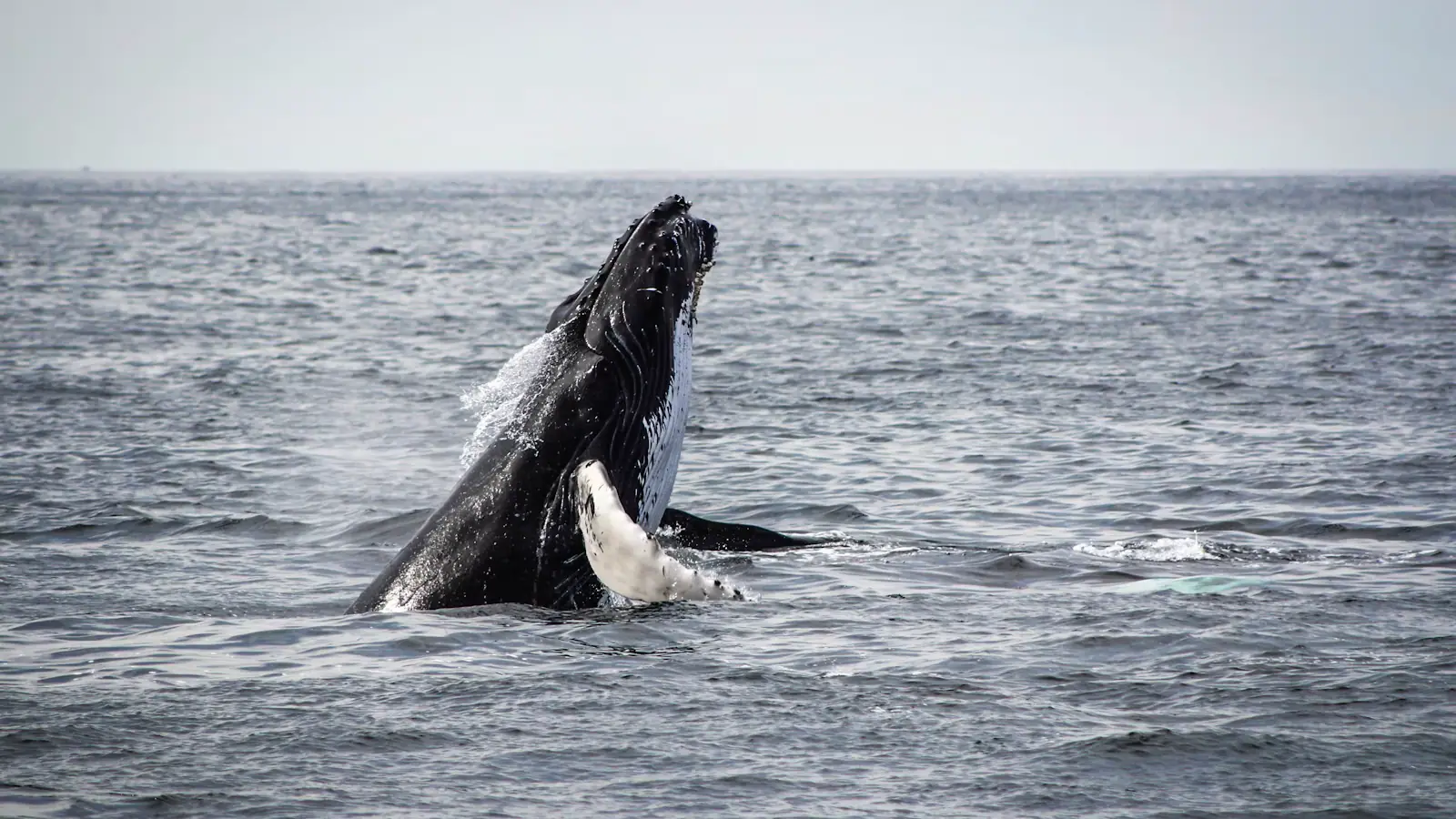
Whale season, roughly December to April, changes this drive completely. The channel between here and Lānaʻi is prime humpback water, and the roadside pullouts fill with people watching from the car.

Tours that visit Olowalu

Operators run these trips past Olowalu, or stop there as part of a longer route. We list what the booking data supports — not everything that mentions the name.

Booking through these earns us a commission from Viator. You pay the same, and payment did not decide what is listed.

Shared departurespriced per seat, best value for one or two

  • Maui: Lahaina ATV Adventure

    Low Supplier Cancellation Rate

    Maui: Lahaina ATV Adventure (opens in a new tab)

    Free cancellation
    1.8K reviews

    You’ll have the chance to drive, or simply be a passenger in one of today’s most advanced 4 seater off-road vehicles, the Canam sport max…

    2 hours

    Prices checked

    from $202.55
  • Maui Atlantis Submarine Adventure

    Excellent Quality

    Maui Atlantis Submarine Adventure (opens in a new tab)

    Free cancellation
    815 reviews

    All riders must be 36 inches or taller to participate/ride submarine. Dive 100 feet below the surface and experience Maui’s marine…

    2 hours

    Prices checked

    from $144.36Usually $160.41

Private and small-group optionsoften cheaper per head for a family or a group of six

Near Olowalu

Straight-line distances, so allow more on the road — the island is long and has one main parkway.

  • A long curve of pale sand meeting clear turquoise water under a bright sky, with low green headland beyond

    Beach

    Kāʻanapali Beach

    Free

    Three miles of public sand, a lava headland called Puʻu Kekaʻa, and free beach parking the resorts are legally required to keep.

    2–7 hoursFree. Public beach access and the mandated resort stalls cost nothing; Whalers Village charges for parking with validation.9.4 mi away

  • A short crescent of pale sand backed by palms, with low rocky points at either end

    Beach

    Nāpili Bay

    Free

    A quiet condo-fronted crescent with turtles on both rocky sides, no facilities, and street parking that is gone before seven.

    1.5–4 hoursFree. Shoreline access is public; there is simply very little parking and no county facilities.13.2 mi away

  • A small crescent beach enclosed by two low rocky points with calm clear water

    Beach

    Kapalua Bay

    Free

    A crescent held between two lava headlands, calm on days the rest of West Maui is blown out — with about forty parking stalls.

    1.5–4 hoursFree, including the public beach access car park.13.6 mi away

  • Snorkeller looking down over a shallow coral reef in very clear blue water

    Nature preserve

    Honolua Bay

    Free

    A protected bay with no sand, no restrooms and no lifeguard — and the best shore snorkelling in West Maui for half the year.

    1–3 hoursFree. No entry fee, no permit and no parking charge — and no facilities of any kind.14.2 mi away

Olowalu: common questions

Is Olowalu good for snorkelling?

On a calm morning, yes — it is one of the easiest shore entries on Maui, with a long shallow reef flat, reliable green sea turtles and no drop-off. By late morning the trade winds chop the surface and visibility falls sharply, and runoff after heavy rain can brown the water for a day. There is no lifeguard, no restroom and no shade, so bring everything. Booties help with the rubble entry.

Why is the Olowalu reef important?

It is roughly a thousand acres of unusually old coral that functions as a nursery for the whole region. Coral larvae spawned at Olowalu drift on the currents and settle on reefs across Maui Nui — Maui, Molokaʻi, Lānaʻi and Kahoʻolawe — which is why researchers call it a mother reef. It is also one of the few known manta ray cleaning stations in Hawaiʻi. Damage here does not stay here.

How do you get to the Olowalu petroglyphs?

The trail starts behind the Olowalu General Store near mile marker 15. Facing the store, go left, take the first right, follow the dirt road to its end and bear left past a water tank. It is about a quarter of a mile to the cliff and roughly a mile round trip, on flat open ground with no shade. Stay on the path, do not touch the carvings and do not take rubbings — they permanently damage the rock.

What happened at Olowalu in 1790?

Simon Metcalfe, captain of the American ship Eleanora, opened fire on Hawaiian canoes gathered at Olowalu after a boat was stolen and a crewman killed, killing more than a hundred people. The retaliation that followed led to the capture of the Fair American, commanded by Metcalfe's son, and to Isaac Davis and John Young entering Kamehameha's service — a turn with real consequences for the unification of the islands. It is a sober place, not a photo stop.

Can you visit Lahaina now?

Partly, and it changes. As of September 2026, Front Street had reopened to vehicles between Pāpalaua and Shaw, along with Dickenson and Prison streets, and more than a dozen businesses had returned — but Market Street, Papelekane Street and Mokuhinia Place remained closed, and Banyan Tree Park was still shut while the tree is assessed. Much of the town is an active rebuild where people live. Do not sightsee the burn area or fly drones. Check Maui County's current guidance before you go.