Skip to content
Menu

Booking through these earns us a commission from Viator. You pay the same, and payment did not decide what is listed.

Search

Things to Do

Hiking Trails on Maui

Last updated

Maui's best hikes, from the Pipiwai Trail and Haleakalā's crater to Waiheʻe Ridge and the Lahaina Pali: distances, altitude, flash flood risk and gear.

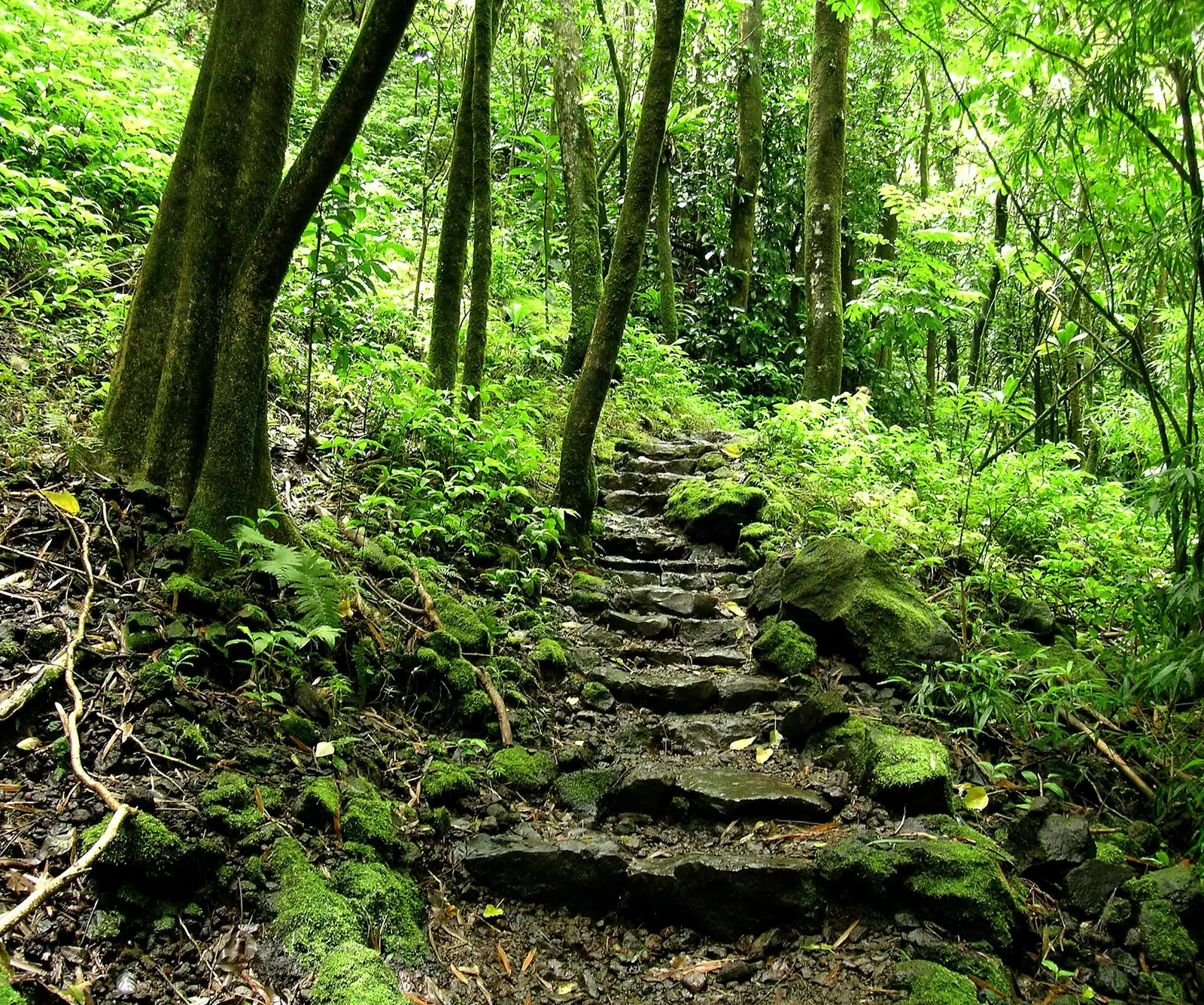
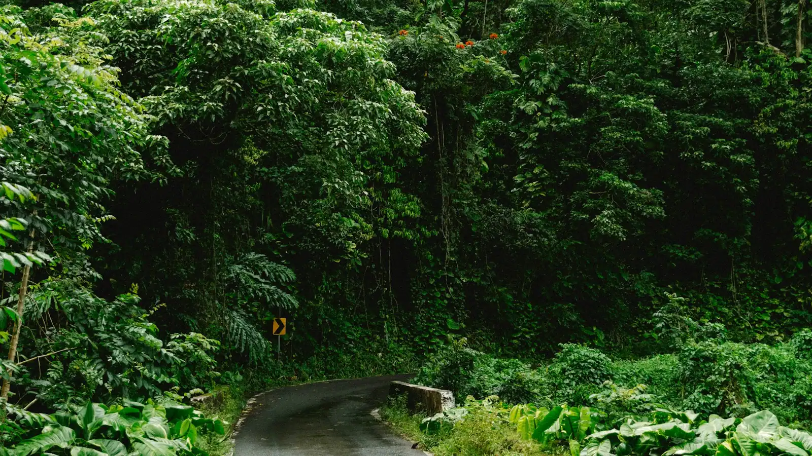
Maui gives you three separate hiking countries inside an hour and a half of driving, and they have almost nothing in common. Up at the top of Haleakalā the trails begin above 9,500 feet in a cinder desert the colour of rust and ash, where the air holds roughly a third less oxygen than at the coast and the temperature at dawn is often near freezing. Drop down the windward slope and you are in rainforest: the Pipiwai Trail climbs through a banyan, past a waterfall overlook and into a bamboo grove so dense the light turns green, and the stalks knock together in the wind like something being tuned. Come round to the leeward side and the vegetation stops altogether. The Lahaina Pali Trail crosses bare, hot, wind-scoured slope on a 19th-century paved footpath, and the Hoapili Trail out past La Perouse Bay walks across the island's most recent lava flow with no shade and no water at all.

The consequence is that there is no single Maui hiking kit. A fleece and a wind shell are genuinely necessary at the summit and useless at La Perouse. Rain gear and grippy soles matter in Kīpahulu and on Waiheʻe Ridge, where the mud is real and the cloud sits on the ridge most afternoons. Two litres of water and a hat are the minimum on the leeward trails, where people get into trouble every year on a walk that looked short on a map.

Two things shape the practicalities more than anything else. First, geography: Haleakalā National Park has two districts that do not connect by road. The Summit District is reached from Kahului up the Haleakalā Highway in about two hours. The Kīpahulu District, which holds the Pipiwai Trail, Waimoku Falls and the ʻOheʻo pools, is on the far side of the island past Hāna, roughly four hours of one-lane bridges away. One park entrance fee covers both for several days, but they are not a single day out, whatever an itinerary tells you.

Second, reservations. Entering the summit area between about 3am and 7am requires a timed sunrise reservation booked separately through recreation.gov, and ʻĪao Valley State Monument and Waiʻānapanapa State Park both require prepaid entry reservations for non-residents. Daytime hiking at the summit outside the sunrise window does not need a reservation, only the park entrance fee, which is the single most useful piece of planning information on this page.

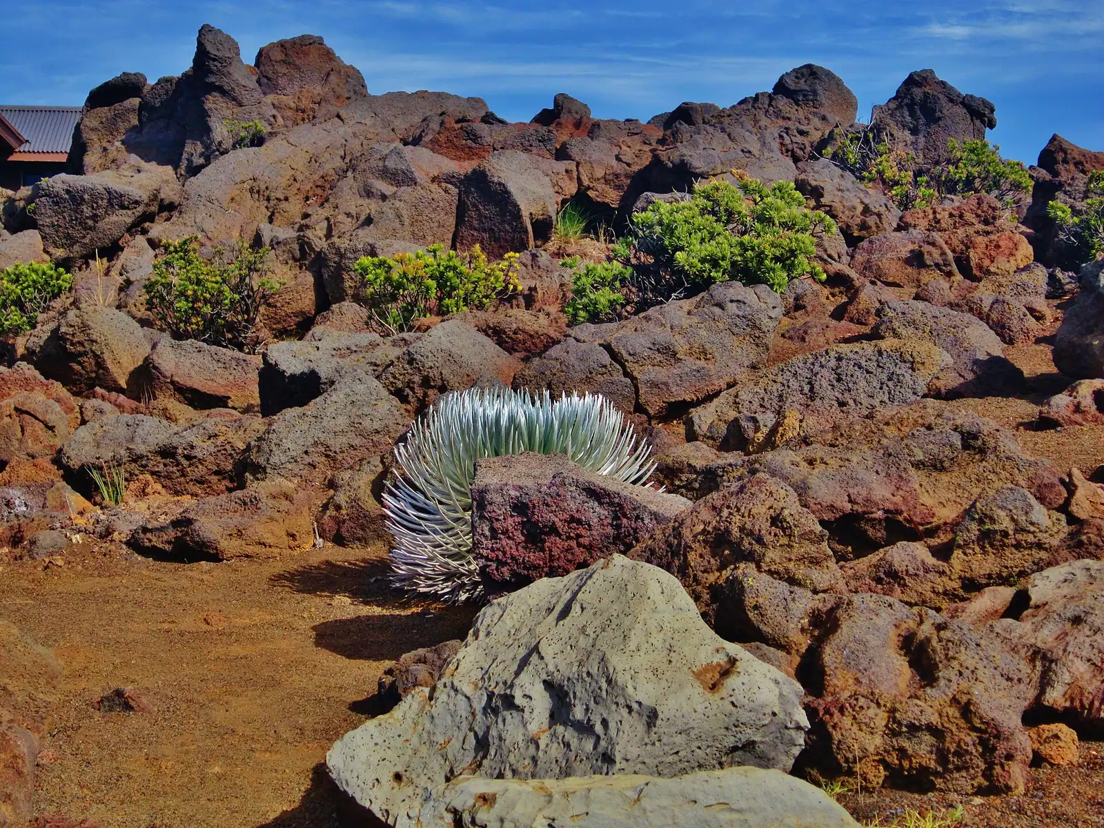
The last thing to carry is restraint. The ʻāhinahina, the Haleakalā silversword, grows on this mountain and nowhere else on earth, and its roots run shallow and wide just under the cinder. A footstep beside the trail can kill a plant that took decades to get there. Nēnē, the Hawaiian goose, nest near the summit road and are struck by cars. Stay on the trail, drive slowly, and treat the ground as the point rather than the surface.
Our picks

The ones we would book

  • Editor's Pick

    Best guided day in the Haleakalā crater

    Why we chose it

    The Sliding Sands to Halemauʻu traverse is the outstanding hike on this island and the logistics are the reason most visitors never do it: two trailheads, eleven miles and 10,000 feet of altitude. A guided version solves the shuttle, brings someone who can name what is growing in the cinder, and sets a turnaround time you will actually respect.

    Maui: VIP Private Road to Hana Tour with Pick Up

    Excellent Quality

    Maui: VIP Private Road to Hana Tour with Pick Up (opens in a new tab)

    Editor's PickFree cancellationPrivate tour
    1.2K reviews

    Discover the magic of Maui with our exclusive, personalized private tours. Say goodbye to crowded buses and rigid schedules—your adventure…

    Full day

    Prices checked

    from $699

What Maui trails are actually like underfoot

Maui hiking rarely feels like mainland hiking, and the difference is surface.

Cinder. Sliding Sands earns its English name. The descent is loose volcanic grit that gives underfoot and makes the return climb substantially harder than the profile suggests. Gaiters are not overkill, and trekking poles help more here than on any other Maui trail.

Mud. Waiheʻe Ridge and the Kīpahulu trails hold water. The West Maui Mountains catch a great deal of rain, and a dry car park at eight can be a slick ridge at ten. Trail runners with worn soles are the most common cause of Maui trail injuries that are not heat related.

Aʻa lava. The Hoapili Trail crosses clinker lava that will shred trainers and skin in equal measure. The historic trail itself is a smoothed causeway of placed stones, which is the remarkable thing about it, but stepping off it is genuinely hazardous.

Root and rock. Pipiwai's bamboo section has a boardwalk in places and slippery basalt in others, and the stream crossings near the top are the ones that close the trail when the water is up.

Wind. The pali trails and the summit both get sustained wind that changes the temperature calculation. Wind chill at 10,000 feet at dawn is the reason people turn back from a sunrise they drove two hours for.

Trail markings on Hawaiʻi state land are lighter than mainland hikers expect, and mobile signal is unreliable or absent on almost every trail on this list. Download the map before you leave the accommodation, and tell someone where you are going.

When to hike, and how long to allow

When to go

Start early. Everywhere, for different reasons. On the leeward trails, the Lahaina Pali and Hoapili, it is heat: both are unshaded and unpleasant by mid-morning and dangerous by midday in summer. At the summit it is cloud: Haleakalā's crater frequently fills with cloud from late morning, so the view you drove for has a window. On Waiheʻe Ridge it is both cloud and the size of the car park.

Allow more time than the distance suggests. The Pipiwai Trail is four miles and most people take two and a half to three hours with stops. Sliding Sands down and back takes roughly twice as long to return as to descend. Waiheʻe Ridge is five miles and commonly takes three hours.

Seasonal notes. Winter, roughly November to March, brings more rain on the windward side, which means better waterfalls, worse mud and more flash flood closures in Kīpahulu. It also brings humpbacks, which is why the Lahaina Pali Trail is at its best in February: you are looking down on the channel where the whales are. Summer is drier, hotter and better for the leeward trails if you start at dawn.

Altitude timing. If you are flying in, do not drive straight to the summit and hike. Give yourself a day at sea level first. And if you are diving on this trip, leave a clear interval between your last dive and any ascent to the summit, because 10,023 feet is a decompression exposure.

Park logistics. The Haleakalā entrance fee covers both districts for three days, so a Kīpahulu day and a summit day in the same window share one ticket. Sunrise entry between about 3am and 7am needs a separate timed reservation booked through recreation.gov, released 60 days ahead with a smaller batch 48 hours before. Daytime hiking needs no reservation.

Matching the trail to the group

Families with young children. The Kapalua Coastal Trail, the paved paths at ʻĪao Valley, the Kuloa Point loop at ʻOheʻo and the first half mile of Pipiwai to the Makahiku Falls overlook all work with small legs. The full Pipiwai is achievable for confident walkers from about seven upward, with the caveat that the drive there and back is the hard part.

Older visitors and anyone with mobility limits. ʻĪao is short and paved. The Haleakalā summit has viewpoints and a short paved walk at Puʻu ʻUlaʻula requiring no descent, though the altitude itself is significant for anyone with a heart or respiratory condition. Check with a doctor before going to 10,023 feet.

Fit hikers with one big day to spend. The Sliding Sands to Halemauʻu traverse is the outstanding hike on Maui and one of the more extraordinary day walks in the United States: down through cinder cones into the crater, across the floor, and up switchbacks on the far wall, around eleven miles at altitude. It needs two cars or a pre-arranged shuttle, and it needs you to be acclimatised and honest with yourself.

Runners and ridge walkers. Waiheʻe Ridge, early, before the cloud.

People who want the history rather than the summit. The Hoapili Trail follows a section of the island-circling King's Highway ordered by the governor whose name it carries, laid across a lava flow from the late 1700s. Walking it is the closest thing on Maui to walking a pre-contact road.

Who should reconsider. Anyone hiking the crater in trainers with a single water bottle. Anyone attempting Pipiwai and the summit on the same day, which the map makes look possible and the road does not.

Guided hikes, and when they are worth it

What it costs

Most Maui trails can be walked without a guide, but three situations make a guided trip the better purchase, and Maui has a good guiding industry because of them.

Access. Several of the best waterfall and rainforest hikes on the windward side are on private or leased agricultural land, and the only lawful way onto them is with a company that holds permission. This is not upselling. Walking onto private land on this island is trespass, it is resented, and it is how access gets closed for everyone.

Transport and logistics. The Sliding Sands to Halemauʻu traverse needs a shuttle. A Kīpahulu day from a west-side hotel is nine hours of driving and hiking that is considerably better done from a van seat than a hire car.

Interpretation. A guide who can name the endemic plants, explain what a silversword is doing at 9,000 feet and tell you what happened in ʻĪao Valley changes the day entirely.

Price bands, to verify before booking:

  • Half-day guided hike, waterfall or rainforest: commonly $130 to $200 per person, usually with transport from a central meeting point.
  • Full-day guided hike including Haleakalā crater or a Hāna-side trail: typically $180 to $280, sometimes including park fees and lunch.
  • Private guided hike: generally $500 and up for a small group, priced per party.
  • Self-guided costs: the Haleakalā entrance fee is charged per vehicle and covers three days and both districts; ʻĪao and Waiʻānapanapa each charge a per-vehicle parking fee plus a per-person non-resident entry fee.

Ask two questions before booking: does the price include the national park entrance fee, and does the hike actually go where the listing photograph was taken.

Book it

Everything else we track

We could not find tours matching this right now

Nothing came back for Maui hike. Operators add and retire experiences constantly, so this list changes week to week. Try a broader category, or come back in a day or two.

The trails worth your day

How they compare

Distances are round trip unless noted, and elevation is the thing that catches people rather than mileage.

TrailDistanceWhereWhat it isThe catch
Pipiwai TrailAbout 4 milesKīpahulu District, past HānaBanyan, the Makahiku Falls overlook, a dense bamboo forest, and 400 ft Waimoku Falls at the endIt is a four-hour drive from Kahului. Muddy after rain. Flash flood closures happen
Keoneheʻeheʻe, Sliding Sands2 to 11 miles, your choiceHaleakalā summitDescending into the crater through cinder in extraordinary lightYou start at about 9,740 ft and every step down is a step you climb back at altitude
Halemauʻu Trail2 to 10 milesHaleakalā summit, lower trailheadSwitchbacks down a cliff face to the crater floor, often through cloudExposure on the switchbacks; the classic one-way traverse from Sliding Sands needs two cars
Waiheʻe Ridge TrailAbout 5 milesWest Maui Mountains above WaiheʻeA ridge climb with roughly 1,500 ft of gain and views into Waiheʻe ValleyMud, cloud on the ridge most afternoons, and a small trailhead car park that fills early
Lahaina Pali TrailAbout 5 miles one way, 2.5 to a turnaroundBetween Māʻalaea and UkumehameA restored 19th-century paved footpath over the pali, with whale views in winterNo shade, no water, hot by nine, and a shuttle needed to do it one way
Hoapili Trail, the King's Highway2 to 5 milesPast La Perouse Bay, south MākenaWalking a historic trail across the 18th-century lava flow to the island's southern tipSharp aʻa lava, zero shade, no water. Sturdy soles are not optional
Kapalua Coastal TrailAbout 3.5 milesWest side, KapaluaEasy lava and beach walking between Kapalua Bay and OneloaThe Makaluapuna Point end sits beside the Honokahua burial site. Stay off the dunes
ʻĪao ValleyUnder a mileCentral Maui, above WailukuShort paved paths under Kūkaʻemoku, the ʻĪao NeedlePrepaid non-resident reservation required. This is a battlefield, not a viewpoint

If you only do one, the Pipiwai Trail is the most consistently remarkable four miles on Maui. If you only do one at altitude, walk twenty minutes down Sliding Sands from the visitor centre and turn round; the crater reveals itself immediately.

What to carry on a Maui trail

What to bring

Pack for the zone, not for the island.

Haleakalā summit

  • A fleece or insulated layer and a genuine windproof shell. Dawn temperatures near the summit are often close to freezing before wind chill.
  • A hat and gloves. Visitors are consistently astonished by this.
  • More water than you would carry at sea level, because dry air at altitude dehydrates fast.
  • Sunglasses and mineral sunscreen. UV at 10,000 ft is severe even when it is cold.
  • A head torch if you are walking before sunrise.

Kīpahulu and the windward rainforest

  • Rain shell and quick-dry layers. It rains here on clear days.
  • Boots or trail shoes with real tread. Mud and wet basalt.
  • Insect repellent. Mosquitoes are constant near the streams.
  • Nothing you mind getting wet.

Leeward trails, Lahaina Pali and Hoapili

  • Two litres of water per person minimum, and more in summer. There is none on either trail.
  • A wide-brimmed hat and long sleeves. No shade exists on either.
  • Sturdy soles for lava. Trainers are not adequate on Hoapili.
  • Electrolytes, and a realistic turnaround time.

Everywhere on Maui

  • Mineral sunscreen only, under Maui County Ordinance 5306.
  • Offline maps. Signal is absent on most of these trails.
  • An empty boot and nothing visible in the car. Trailhead break-ins are a persistent problem on this island.
  • Never drink untreated stream water, and keep cuts out of it.

Flash floods, fresh water, altitude and sacred ground

Before you book

Maui's trail hazards are specific and most of them are avoidable.

Flash flooding. Windward streams rise fast and from rain you cannot see, falling thousands of feet upslope. If the water is rising, browning or carrying debris, get to high ground and do not cross. Never camp or sit in a streambed. Kīpahulu closes its trails when the gauges say so, and that closure is not a suggestion.

Leptospirosis. Hawaiʻi's fresh water carries a bacterium spread through animal urine that causes a serious flu-like illness and occasionally worse. Do not drink stream water even filtered, do not submerge your head, and stay out entirely if you have an open cut. This applies to every waterfall pool on this island.

Altitude. Haleakalā's summit is 10,023 feet and you reach it by car in about two hours from sea level, which gives your body no time to adjust. Headache, nausea and breathlessness are common; the response is to descend. It is not a place for anyone with significant cardiac or respiratory conditions without medical advice, and it is not a place to go within 18 hours of scuba diving.

Heat and no water. The Lahaina Pali and Hoapili trails have no shade, no water and no shelter, and both look benign on a map.

Rockfall and closed pools. The ʻOheʻo pools have been closed to swimming indefinitely because of rockfall and flash flood risk. The Kuloa Point trail to view them remains open. Respect the closure; people have died there.

Sacred and sensitive ground. ʻĪao Valley is the site of the 1790 battle of Kepaniwai, where the stream was dammed with the dead. It is a place of mourning, not a photo backdrop. The dunes at Makaluapuna Point on the Kapalua Coastal Trail hold the Honokahua burial site, one of the most significant in Hawaiʻi. Stay on the marked trail.

On the ground

Where to go

Every place below has its own page — hours, parking, what it costs and what to expect when you get there.

  • Bare volcanic cinder cones on a high crater floor under early morning light

    Park

    Haleakalā National Park

    A 10,023-foot volcano with a reservation system at the gate and a second district four hours away on the far side of the island.

    3–8 hoursAround $30 per private vehicle, valid three days and covering both districts. Sunrise entry needs a separate $1 reservation.

  • A mountain ridge standing above an unbroken layer of cloud at first light

    Viewpoint

    Puʻu ʻUlaʻula (Haleakalā Summit)

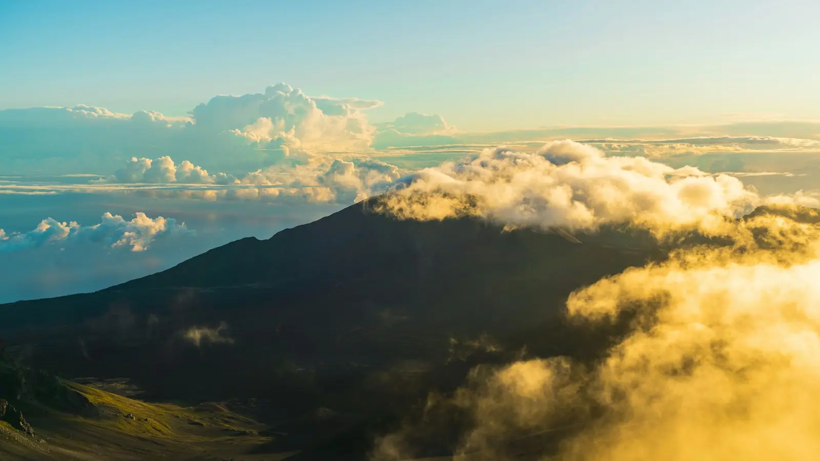
    The highest point on Maui, 10,023 feet up, where the horizon curves and the clouds are a thousand feet below your feet.

    1.5–4 hoursCovered by the Haleakalā National Park entrance fee, around $30 per vehicle for three days. Sunrise entry needs a separate $1 reservation.

  • A narrow path running through a dense stand of tall green bamboo

    Trail

    Pīpīwai Trail

    Four miles through a banyan, a boardwalk bamboo forest and two stream bridges, ending under a 400-foot waterfall.

    2.5–5 hoursCovered by the Haleakalā National Park entrance fee, around $30 per vehicle and valid three days across both districts.

  • Dark volcanic sand and black rock at the edge of a small ocean cove

    Park

    Waiʻānapanapa State Park

    Black basalt sand, freshwater caves and an ancient coastal trail, three miles before Hāna — and you cannot get in without booking ahead.

    1–2.5 hoursNon-residents pay per-vehicle parking plus a per-person entry fee, both by advance reservation. Hawaiʻi residents with state ID are free.

  • A tall narrow waterfall dropping down a dark cliff face into forest

    Water feature

    Waimoku Falls

    Four hundred feet of water down a sheer lava wall, two miles up a rainforest valley and reachable no other way.

    0.5–1 hoursCovered by the Haleakalā National Park entrance fee, around $30 per vehicle for three days.

  • A sharp green ridge rising steeply out of a densely vegetated valley

    Historic site

    ʻĪao Valley State Monument

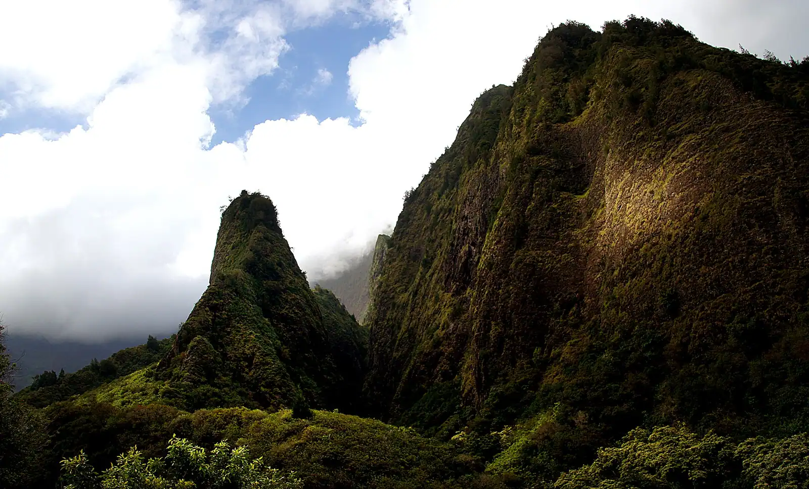
    A green spire 1,200 feet above the valley floor, in a place Hawaiians remember as a battlefield rather than a viewpoint.

    0.5–1.5 hoursNon-residents pay a per-vehicle parking fee plus a per-person entry fee, both booked in advance. Hawaiʻi residents with state ID are free.

  • A plume of seawater bursting upward from a hole in dark coastal rock

    Water feature

    Nākālele Blowhole

    Free

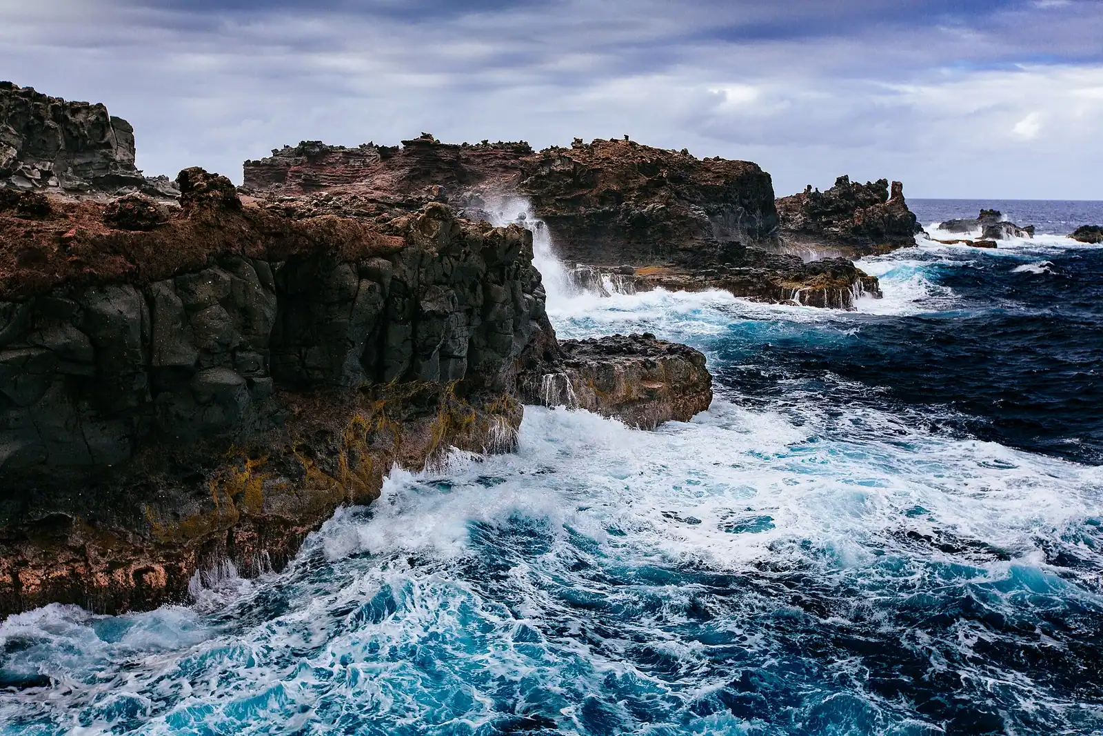
    A lava vent on Maui's northernmost point that fires seawater skyward — and a place where standing in the wrong spot has killed people.

    0.5–1.5 hoursFree. No entrance fee and no parking charge.

  • A stream stepping down rock terraces towards the ocean under cloud

    Water feature

    ʻOheʻo Gulch

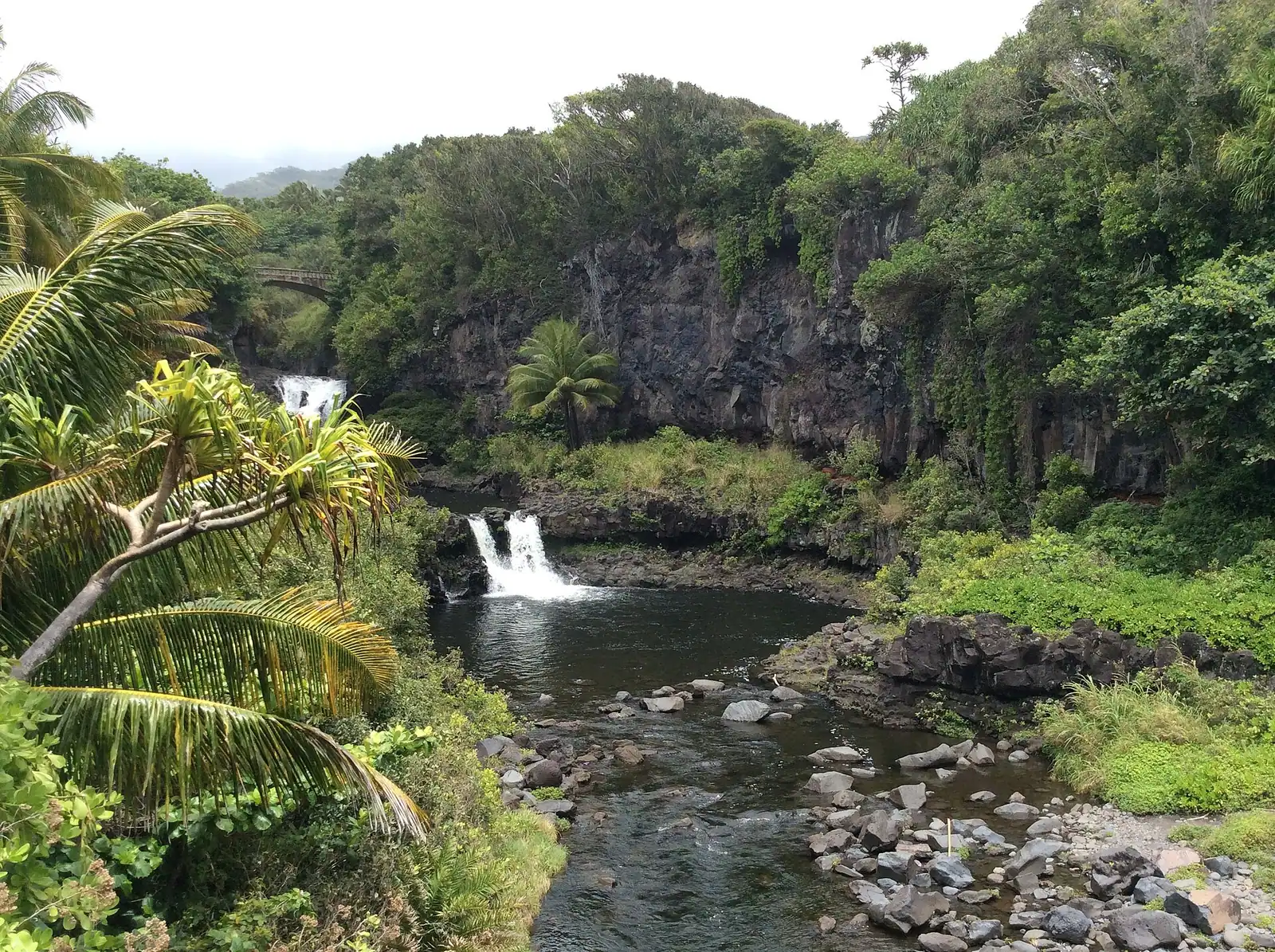
    A staircase of stream pools falling to the sea at Kīpahulu, where swimming has been closed and the famous name was never real.

    0.5–1.5 hoursCovered by the Haleakalā National Park entrance fee, around $30 per vehicle for three days across both districts.

  • A small waterfall dropping into a green pool in dense tropical forest

    Water feature

    Twin Falls at Wailele Farm

    The first waterfall on the Hāna road, on a working farm with 55 parking spaces and a queue that starts at 7am.

    1–2.5 hoursAround $10 per vehicle for parking, first come first served, with no booking system.

Straight answers

Questions people actually ask

What is the best hike on Maui?

For most visitors, the Pipiwai Trail in the Kīpahulu district of Haleakalā National Park: about four miles round trip past a banyan and the Makahiku Falls overlook, through a dense bamboo forest, ending at the 400-foot Waimoku Falls. For experienced hikers the Sliding Sands to Halemauʻu crater traverse is the more extraordinary day, roughly eleven miles at altitude with two trailheads. For a shorter ridge walk with big views, Waiheʻe Ridge in the West Maui Mountains.

Do you need a reservation to hike at Haleakalā?

Only for sunrise. Entry to the summit area between about 3am and 7am requires a timed reservation booked separately through recreation.gov, released 60 days ahead with a smaller batch 48 hours before. Daytime hiking needs no reservation, only the park entrance fee, which is charged per vehicle and covers both the Summit and Kīpahulu districts for three days. Backcountry cabins and campsites have their own permit system.

How hard is the Pipiwai Trail?

Moderate. It is about four miles round trip with roughly 650 feet of gain, on a trail that alternates between packed dirt, boardwalk and slick wet rock. Most people take two and a half to three hours with stops. The difficulty is not the climb, it is the mud after rain, the stream crossings that close the trail when water is high, and the drive: Kīpahulu is past Hāna, roughly four hours from Kahului each way.

Can you hike into the Haleakalā crater?

Yes. Keoneheʻeheʻe, the Sliding Sands trail, drops into the crater from near the visitor centre at about 9,740 feet, and the Halemauʻu Trail switchbacks down the far wall from around 8,000 feet. You can walk as far in as you like and turn around, but remember every foot of descent is a foot climbed back at altitude, on loose cinder. The full traverse between the two trailheads is about eleven miles and needs two cars or a shuttle.

Is it safe to swim in Maui's waterfall pools?

Use real caution. Hawaiʻi's fresh water carries leptospirosis, a bacterial illness spread through animal urine, so do not submerge your head, do not drink the water even filtered, and stay out if you have an open cut. Flash flooding is the bigger risk: streams rise fast from rain falling thousands of feet upslope. The ʻOheʻo pools in Kīpahulu are closed to swimming indefinitely because of rockfall and flood risk, and that closure is enforced.

What should I wear to hike Haleakalā?

Warm layers and a windproof shell. The summit is 10,023 feet and dawn temperatures there are frequently close to freezing before wind chill, even in August, which catches out almost everyone arriving from a beach at 80°F. Add a hat, gloves, sunglasses and mineral sunscreen, because UV at that altitude is severe regardless of temperature. Wear shoes with grip: the crater trails are loose cinder.

Are there hiking trails on the Road to Hāna?

Several, though the best ones are past Hāna rather than on the way. Waiʻānapanapa State Park has a coastal trail on a section of the old King's Highway along black lava sea cliffs, and requires a prepaid non-resident reservation. Beyond Hāna, the Kīpahulu district holds the Pipiwai Trail and the short Kuloa Point loop overlooking the ʻOheʻo pools. Twin Falls near mile marker 2 is on a working farm that opens its land to visitors, so stay on the marked paths.

Do I need a guide to hike on Maui?

Not for the national park trails, ʻĪao Valley, Waiheʻe Ridge, the Lahaina Pali or the coastal walks, all of which are public and signed. You do need one for the many windward waterfall hikes that cross private or leased agricultural land, where a permitted operator is the only lawful access. A guide is also worth it for the crater traverse, which needs a shuttle, and for anyone who wants the plants and the history explained rather than just walked past.