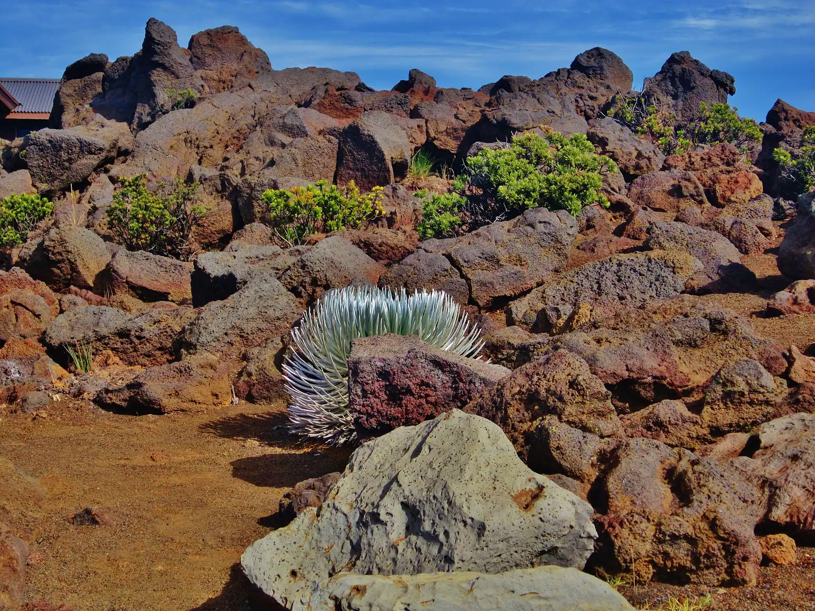
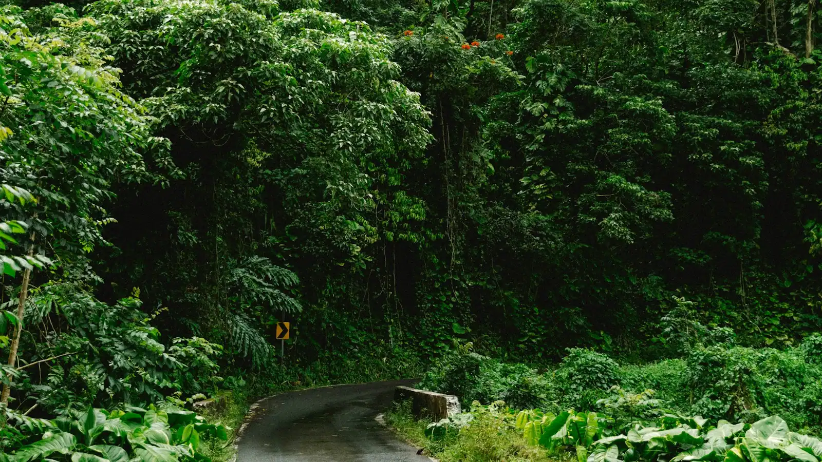
Haleakalā is the reason Maui has the shape it does. The eastern three quarters of the island is one shield volcano, and its summit at Puʻu ʻUlaʻula stands 10,023 feet above a coastline you can reach in under two hours. The road that gets you there, Highway 378, climbs from roughly 3,000 feet to the summit in about ten miles of switchbacks, which makes it one of the fastest sea-to-summit paved ascents anywhere on earth. You will drive through sugarcane country, pasture, eucalyptus, cloud, and then out above the cloud into a landscape of red and black cinder that looks like nothing else in the Pacific.
The name means house of the sun, and it comes from the account of Māui standing on this mountain and snaring the sun to slow its passage so his mother could dry her kapa. That story is why sunrise here is not simply a scenic event, and it is worth knowing before you arrive with a tripod and a thermos.
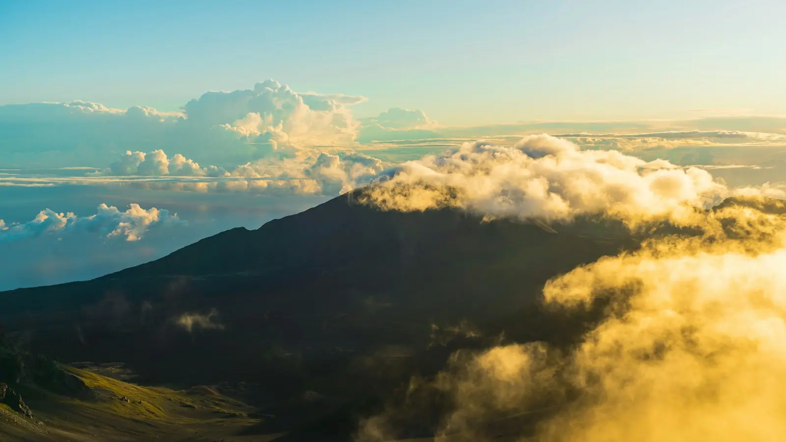
What you look into from the rim is usually called a crater and technically is not one. The depression is about seven miles long, two miles wide and 2,600 feet deep, and it was carved by two enormous erosional valleys eating back into the summit and meeting, then partly refilled by later eruptions. The cinder cones scattered across its floor are the youngest part of it. Standing on the rim at dawn with cloud pouring through the Koʻolau Gap is the single most photographed thing on Maui, and it earns the attention.
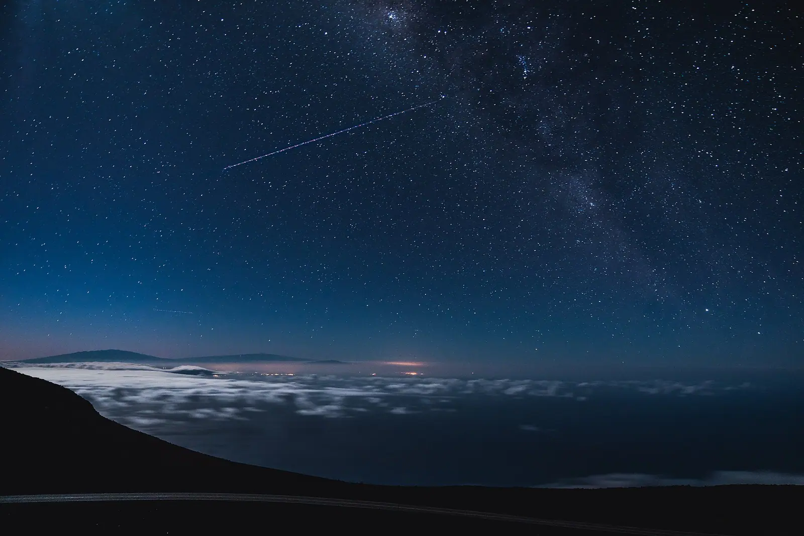
Two practical facts decide whether your visit works. First, any non-commercial vehicle entering the summit district between 3am and 7am needs a timed sunrise reservation booked in advance through recreation.gov. It costs about a dollar, it is completely separate from the park entrance fee, and it is not a formality: rangers check it at the gate and turn people away. Slots are released 60 days ahead and again two days ahead at 7am Hawaiʻi time, and the popular dates go in minutes. Second, the summit is an alpine environment. Air temperature at dawn regularly sits in the 30s and low 40s Fahrenheit with wind on top of that, which is roughly 30 degrees colder than the beach you left ninety minutes earlier, and there is around 40 percent less oxygen than at sea level. Every ranger at this park has stories about people arriving in board shorts.
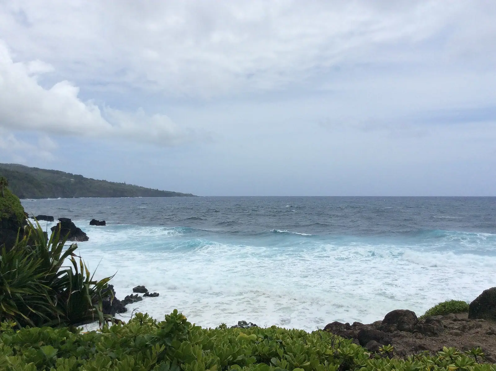
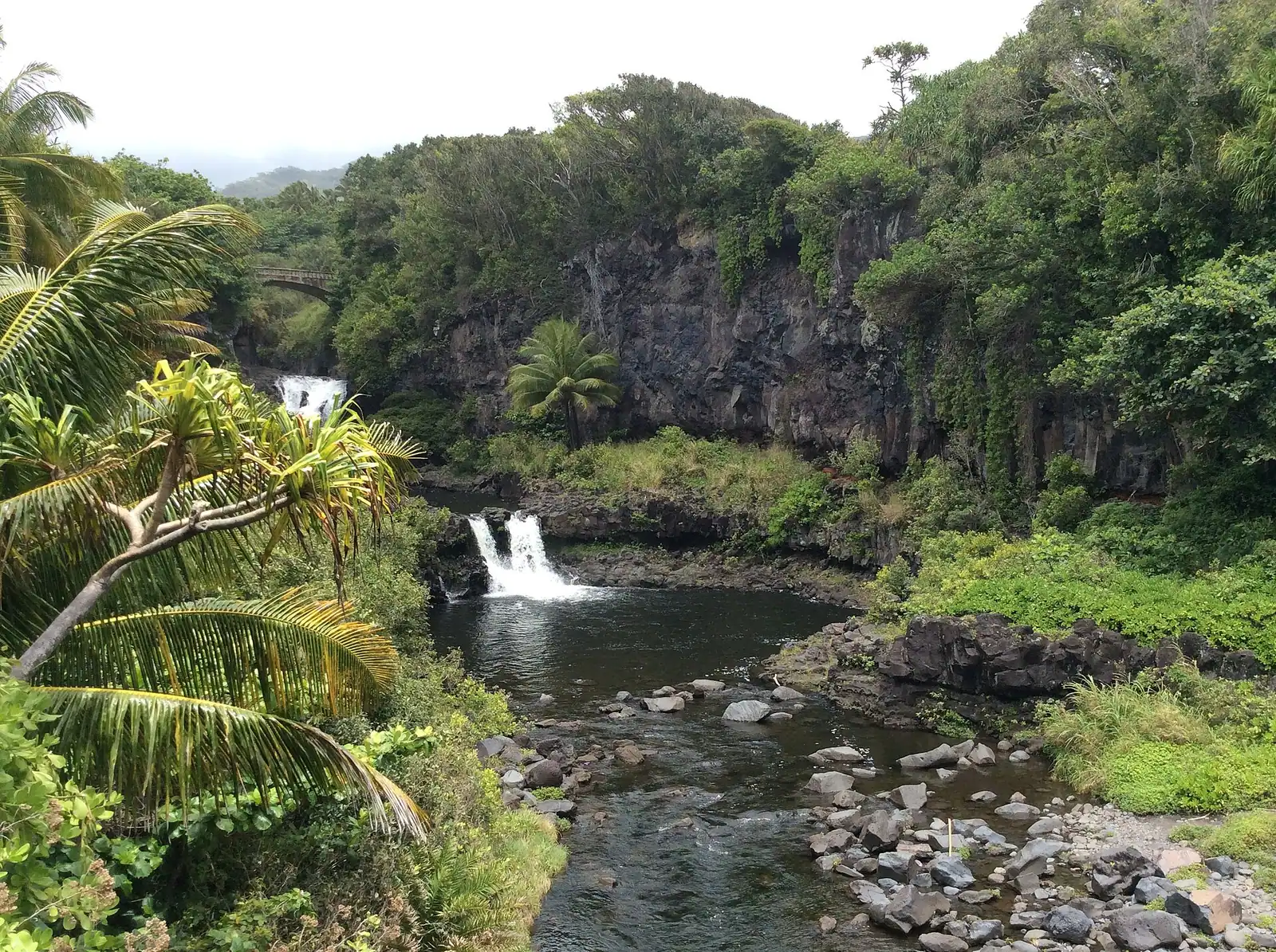
One more thing to get straight before planning: the Kīpahulu district, with ʻOheʻo Gulch and the Pipiwai Trail, is part of the same national park and shares the same entrance pass, but it is on the far side of the island past Hāna. It is a completely separate drive, not a stop on the way down from the summit.